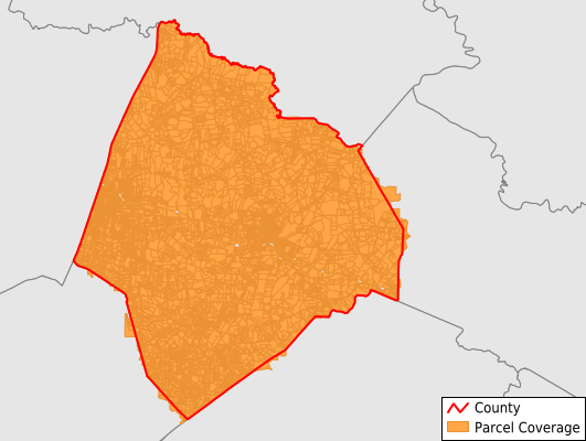
Edgecombe County
Parcel Data
Price: $200.00
Last Updated:
2025-Q4
Parcels in County:
31,562
Parcel data available to download as a GDB, GeoPackage, Shapefile, Excel, CSV, or Google Earth KML file.
All purchased data comes with six months of access, including any updates, at no additional cost.
Key attribute coverage for Edgecombe County
The percentage of Edgecombe County parcels containing the following key attributes:
Owner: 99.8%
Parcel Number: 99.8%
Acreage (Calculated): 100%
Site Address: 99.7%
Mailing Address: 99.8%
All available attributes in Edgecombe County
Parcel Number
Site Address
Owner
Transfer Date
Sale Price
Neighborhood Code
Land Use Code
Land Use Class
Zoning
Acreage (deeded)
Acreage (calculated)
Perimeter
Municipality
School District
Zip Code
Flood Zone
Flood Zone Subtype
Census Tract
Census Block Group
Census Block
Total Market Value
Land Market Value
Building Market Value
Mail Address1
Mail Address3
Buildings
Addr Sec Unit Num
Place Gnis Code
Land Cover
Elevation
Owner Occupied
Robust Id
Usps Residential
Alt Id 1
Alt Id 2
Crop Cover
Acreage Adjacent With Sameowner
Flood Zones
Nearest Transmission Line Dist Ft
Nearest Substation Dist Ft
Derived Geom Properties
Municipalities Respresented in Edgecombe County
Township 1, Tarboro: 7,442
Township 2, Lower Conetoe: 1,311
Township 3, Upper Conetoe: 789
Township 4, Deep Creek: 737
Township 5, Lower Fishing Creek: 788
Township 6, Upper Fishing Creek: 1,420
Township 7, Swift Creek: 1,590
Township 8, Sparta: 1,460
Township 9, Otter Creek: 1,488
Township 10, Lower Town Creek: 2,131
Township 11, Walnut Creek: 909
Township 12, Rocky Mount: 9,469
Township 13, Cokey: 1,153
Township 14, Upper Town Creek: 863
Save money when you buy data in bulk
We offer discounted pricing on county and state downloads.